|
|
|||||
|
Using
Soil Erosion Modeling for Improved Conservation Planning: |
|||||
|
|
|||||
|
Using
Soil Erosion Modeling for Improved Conservation Planning: |
|||||
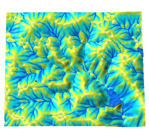
raster:
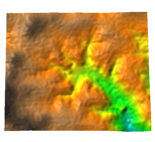 |
elevation |
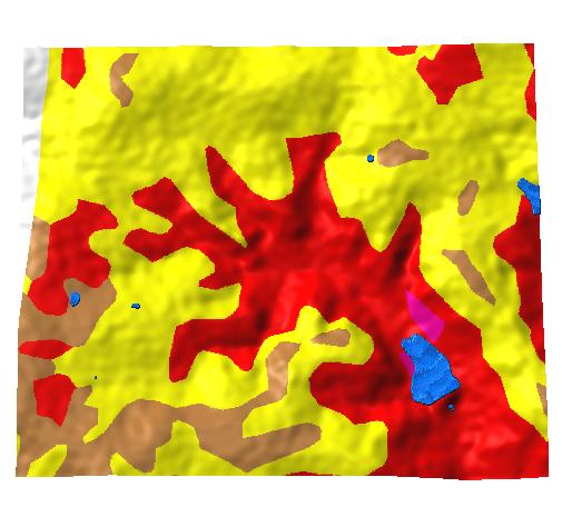 |
K factor |
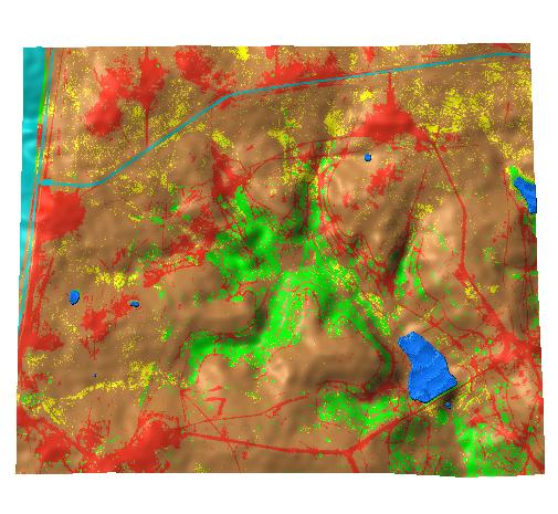 |
C factor |
| (P) |
constants: R=220, grid resolution=3mComputation
1. r.flow elevation dsout=flowacc |
 |
2. r.slope.aspect elevation slope=slope (not needed if you already have slope from RST) |
 |
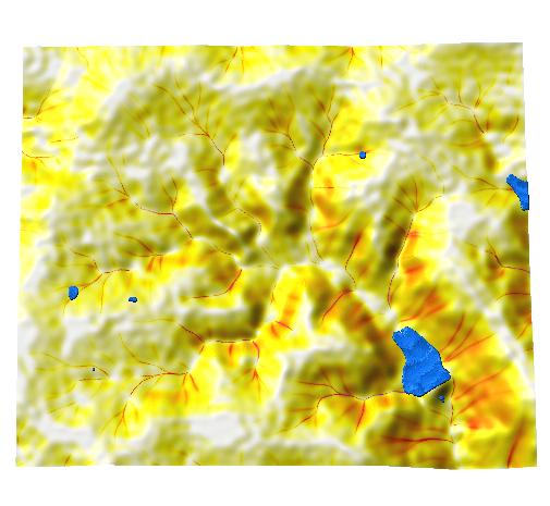
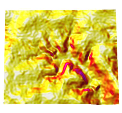
3. r.mapcalc lsfac= 1.4*exp(flowacc*3./22.1,0.4)*exp(sin(slope)/0.09,1.4) |
 |
soilloss=R*K*C*P*lsfac |
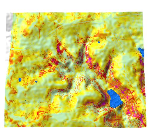 |
4. r.colors soilloss co=rules (suggested rules and colortable) |
|
|


