|
|
|||||
|
Using
Soil Erosion Modeling for Improved Conservation Planning: |
|||||
|
|
|||||
|
Using
Soil Erosion Modeling for Improved Conservation Planning: |
|||||
Computing RUSLE using GIS

Soil Loss Prediction
Given data

grid:
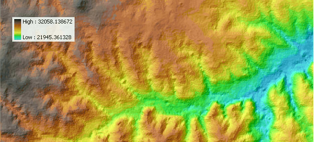 |
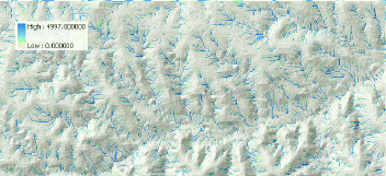
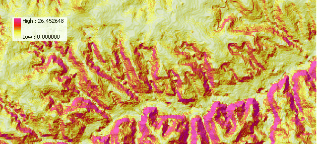
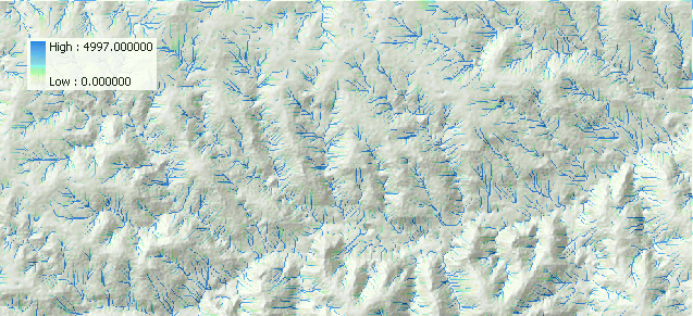
elevation |
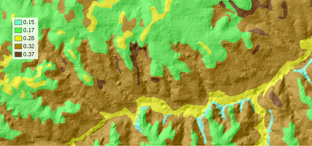 |
K factor |
 |
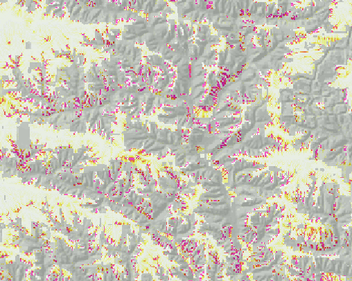
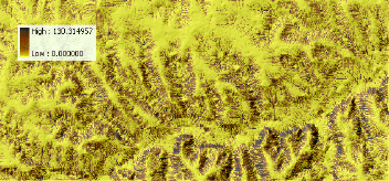
C factor |
| (P) |
constant: R=220, resolution=10m


Computation
| 1. Enable Spatial Analyst Under View... Toolbars select Spatial Analyst |
|
| 2. Calculate Slope From the Spatial Analyst toolbar, select Surface Analysis... Slope. |
 |
| Enter the elevation layer, select Degree,
and enter output information. Give the new theme name slope. |
 |
| 3. Raster Calculator From the Spatial Analyst toolbar, select Raster Calculator. Build an expression: FlowAccumulation(FlowDirection([elevation])) Evaluate Make the new theme permanent and change the name to flowacc |
 |
|
Build an expression in the Raster Calculator (in ArcGIS 9.2 skip
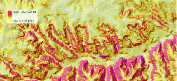
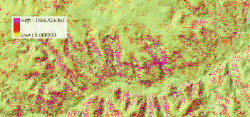
radian conversion - multiplication by 0.01745): Pow([flowacc] * resolution / 22.1, 0.4) * Pow(Sin([slope] * 0.01745) / 0.09, 1.4) * 1.4 Evaluate Make the new theme permanent and change the name to lsfac |
 |
|
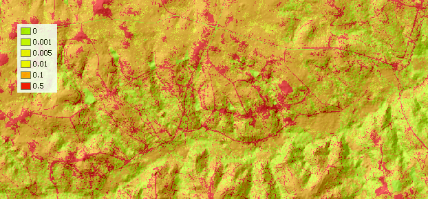
Build an expression in the Raster Calculator: R * [K] * [C] * [P] * [lsfac] Evaluate Make the new theme permanent and change the name to soilloss |
 |
|
|


