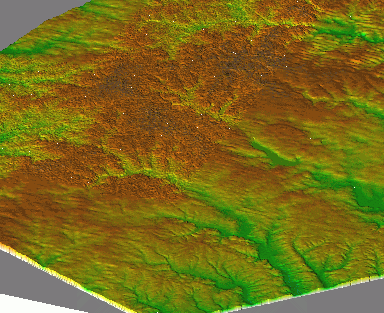
The digital elevation model is the fundamental data layer needed for erosion modeling.

For example, this DEM has been assembled from at least 3 sets of elevation data with a wide range of quality, and most of it would be unsuitable for erosion modeling. Also note that the 30m resolution makes this data suitable only for watershed, regional scale modeling.
For some areas, a new 10m resolution DEM is now available. It is derived from the same contours as the 30m DEM, however more accurate interpolation was used and elevations are available with vertical precision of 0.1m rather than 1m, reducing the "step" effect. In spite of using the same data source, the quality of this DEM is superior compared to the 30m DEM (see USGS documentation about the accuracy). Besides the increased precision, accuracy and resolution, the DEM provides a much more detailed description of terrain features. A few new problems due to the TIN-based interpolation method were observed, such as waves along contours in steep areas, noise in flat areas, leading to noisy and inconsistent contours and artificial dams in valleys due to triangulation (see 10m DEM sample data). However the magnitude of these artifacts is much smaller than in previous models. The negative impact on modeling can be reduced by smoothing and/or reinterpolating the data. The 10m DEMs have to be ordered directly from the USGS.

Upslope area computed from a 3m DEM
|
|