Using Soil Erosion Modeling for Improved Conservation Planning: A GIS-based Tutorial
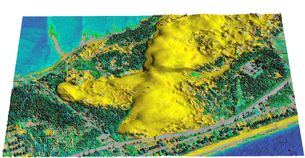
Light Detection and Ranging (LIDAR)
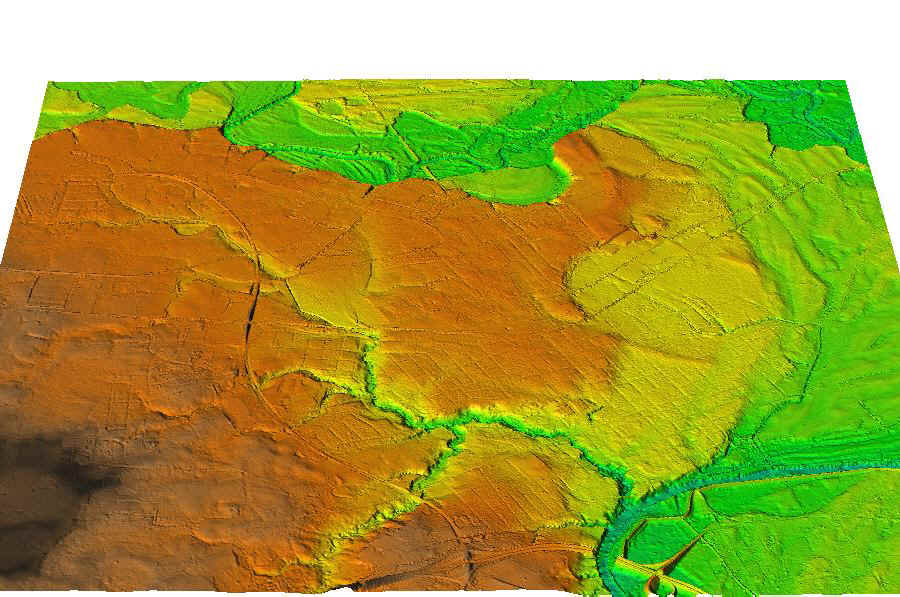
Up10 Meter DEM (USGS)IFSARE Interferometric Synthetic Aperture Radar for ElevationLight Detection and Ranging (LIDAR)
HOME H. Mitasova, et al., Geographic Modeling Systems Lab, UIUC