|
|
|||||
|
Using
Soil Erosion Modeling for Improved Conservation Planning: |
|||||
|
|
|||||
|
Using
Soil Erosion Modeling for Improved Conservation Planning: |
|||||
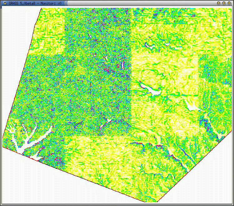
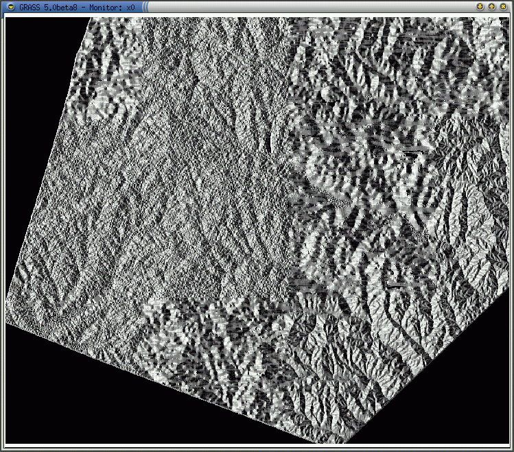
These slope, aspect and elevation images created using the National Elevation Dataset (NED) demonstrate the variety of data quality and resolution provided by NED. Although the dataset eliminates the need to patch together DEMs that were created using various datums and projections, the sections display noticeable noise, resampling, and resolution differences. The NED is updated regularly to include the best available dataset for a given area.
NED Slope
NED Aspect
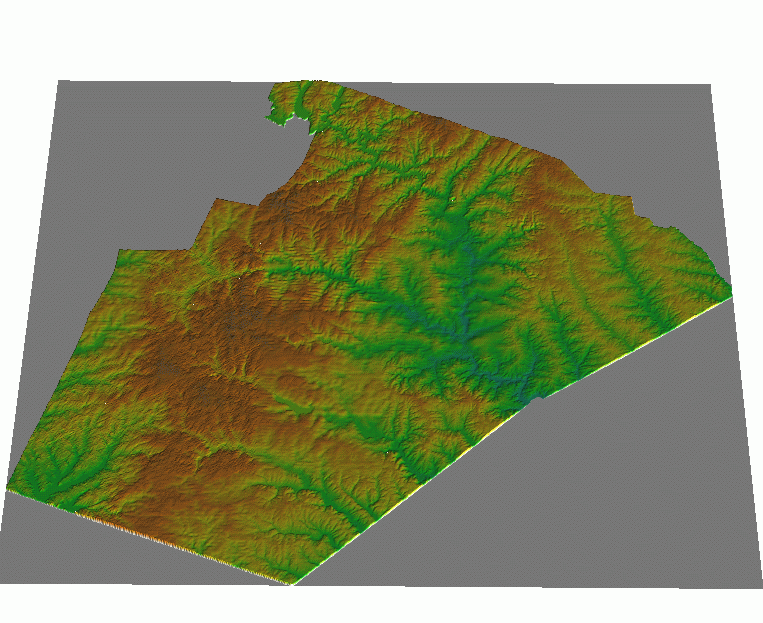
NED Digital Elevation Model (masked to boundaries)
|
|


