
Centennial Campus Middle School Area:
Spatio-Temporal Landscape Model
Results
- Landscape model
1993-2002-future - Monitoring
- Modeling water and sediment flow
- Modeling soil loss: GeoWEPP
- LIDAR data
- Photos
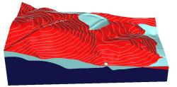
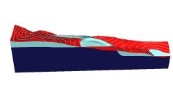
Digital landscape model of CC Middle school study area is a set of GIS layers representing the state of landscape at different time periods during the past decade. The model was created by integrating data from various sources, such as Wake county GIS contours, DOQQ, RTK-GPS, CAD plans.
Land use
Digital elevation model:
Topographic analysis: slope
Topographic analysis: change in elevation surface
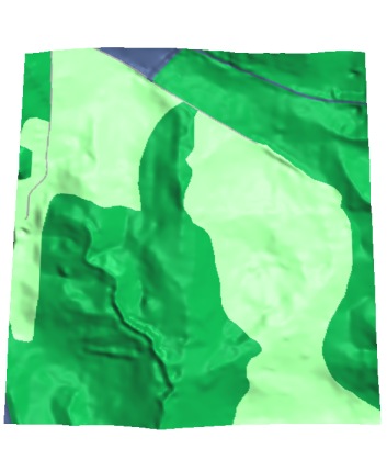 1993
1993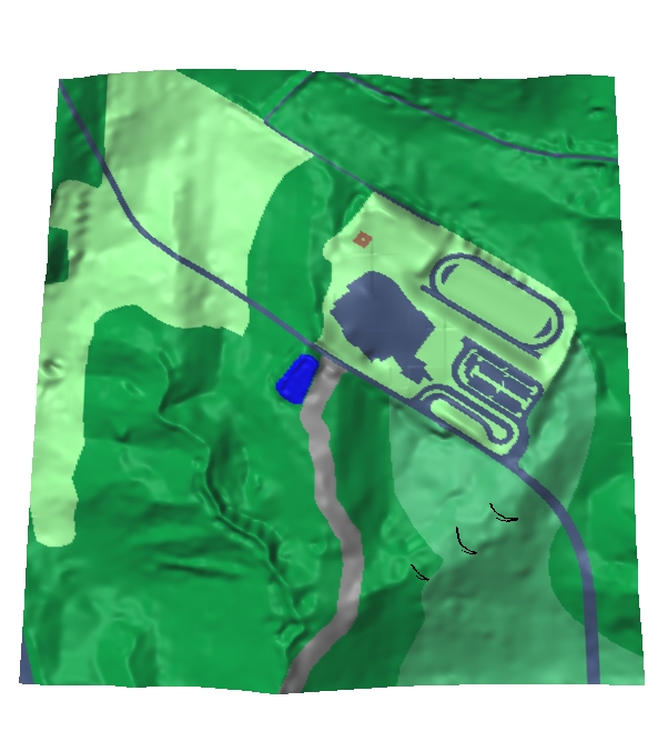 2001
2001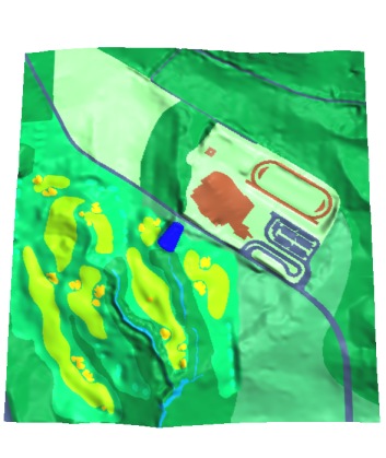 plan
plan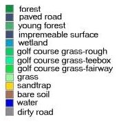
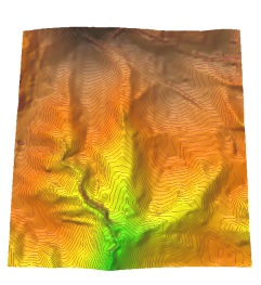 1993
1993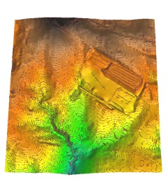 2001
2001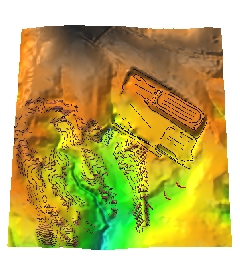 future
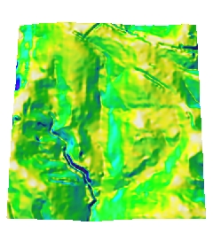 1993
1993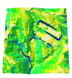 2001
2001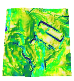 future
 School 1
 School 2
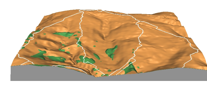 Golf 1
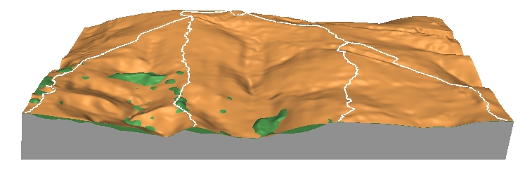 Golf 2