Centennial Campus: Environmental Modeling with GRASS
Solar_2013DTM
Landscape model
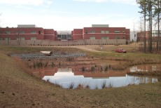
Monitoring
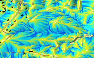
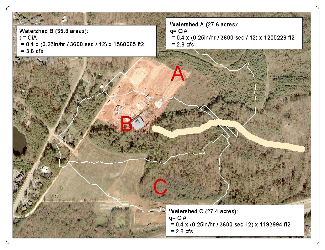
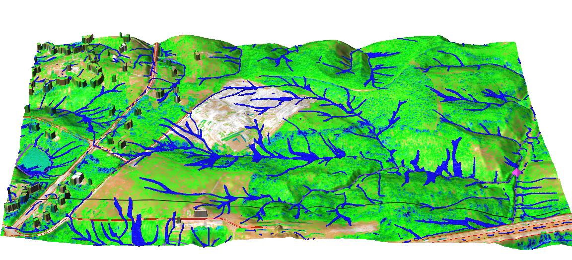
Modeling water and sediment flow
Modeling soil loss: GeoWEPP
LIDAR data
Photos
Centennial Campus area is undergoing a rapid transformation from a secondary forest landscape into an urban environment. These changes bring modfications to all aspects of its physical environment, from change in topography and soils to the most visible change in land cover. By creating and analysing the digital model of this landscape at different stages of its evolution it is possible to better understand the undergoing changes and their impact. When combined with process based, distributed models the impact of changes on the landscape processes can be evaluated and predicted, providing valuable support for decision making.
Click here
to compare spatial distribution of discharge before,
during and after construction without runoff and sediment control measures


