
Centennial Campus Middle School Area:
LIDAR data from NC Flood mapping program
Results
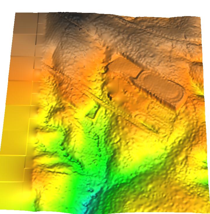 Interpolated from processed
bare earth point data
Interpolated from processed
bare earth point data
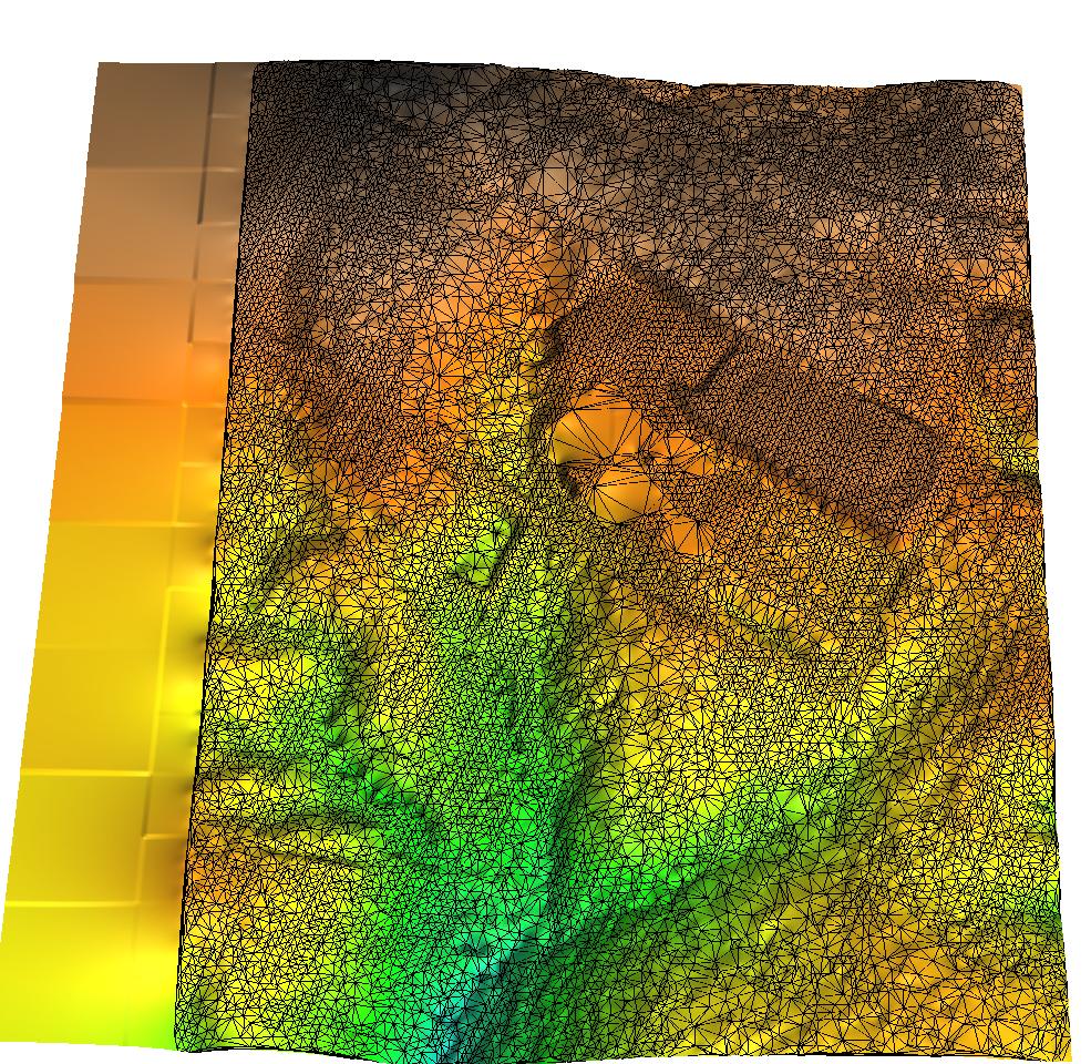 Overlayed TIN shows
the variable point pattern - note the regular pattern in open areas (track, parking lot)
and sparser, more irregular pattern in forested areas, where it was not possible to
recover accurate last return for every point
Overlayed TIN shows
the variable point pattern - note the regular pattern in open areas (track, parking lot)
and sparser, more irregular pattern in forested areas, where it was not possible to
recover accurate last return for every point
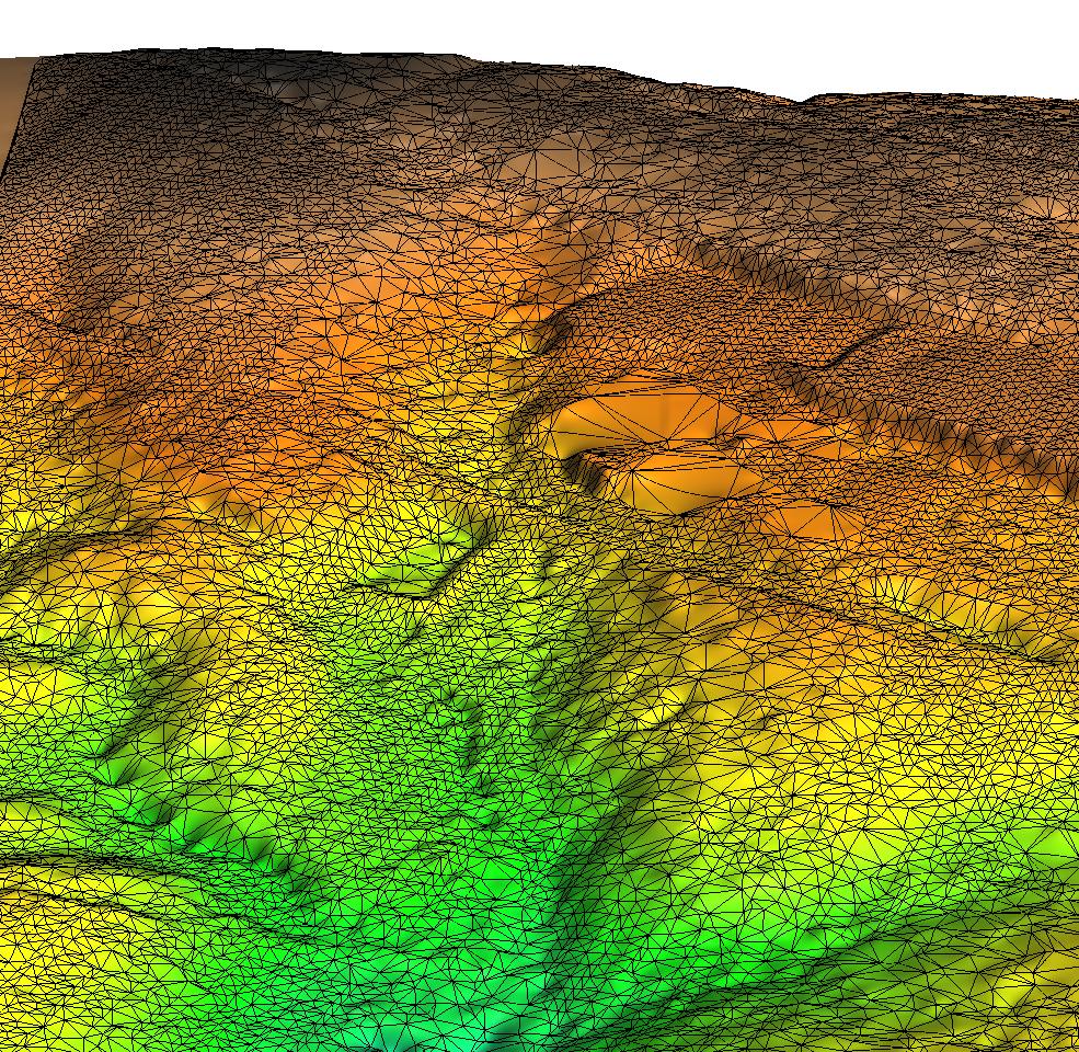 Zoom-in TIN - note the removal
of the school building
Zoom-in TIN - note the removal
of the school building
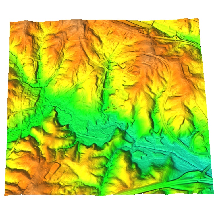 Processed 20ft DEM
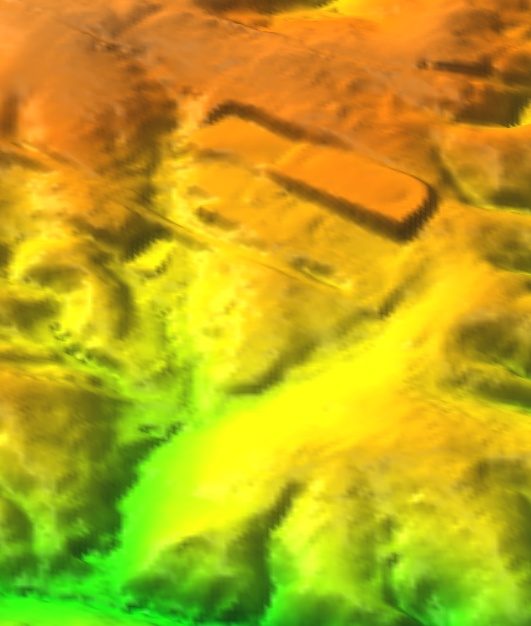 Processed 20ft DEM - zoom-in to the study area
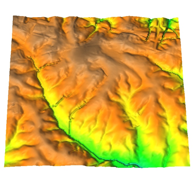 Processed 50ft DEM, note the stream enforcement by D8