|
Using
Soil Erosion Modeling for Improved Conservation Planning: |
|||||
Cost effective land maintenance and rehabilitation at military installations requires identification of areas at greatest risk of erosion/deposition, as these areas should be targeted for erosion prevention. High resolution, process-based simulations provide valuable tools for assessing the current erosion status and predicting erosion and deposition patterns for various land uses and management conditions. This example covers the application of semi-empirical and process-based erosion simulation tools for evaluation of erosion and deposition on an installation. It also illustrates erosion modeling at different resolutions and compares the input data and results over two time periods.
Computation of DEMs and topographic analysis is a crucial component of data preparation for erosion modeling. For this study, a 10m resolution DEM was interpolated from 5m contours using the Regularized Spline with Tension Method with simultaneous topographic analysis including the computation of slope, aspect and curvatures. For a watershed in the eastern part of Hohenfels Training Center we have computed a 2m resolution DEM from the 5m contours, and for a small subarea of this watershed we have computed a 2m resolution DEM from 1m contours for multiscale simulations. For comparison, we include a sample of a 10m DEM derived from remote sensing techniques as well as a recently obtained 4m resolution DEM.
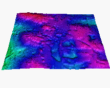 Sample from a 10m resolution DEM developed using remote sensing technology. The model represents the
elevation surface with all features (e.g., forests or buildings) on top of it.
It does not represent bare ground elevation and therefore its use for
erosion modeling is problematic.
10m resolution DEM computed from 5m contours by s.surf.rst (GRASS), with simultaneous estimation of topographic parameters:
 elevation
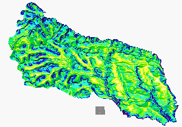 slope
slope
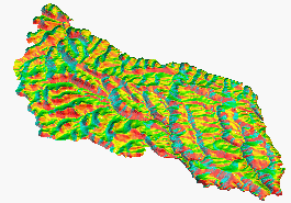 aspect
 profile curvature
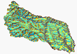 contour curvature
Topographic potential for water and sediment flow and net erosion deposition modeled by USPED for the entire installation at 10m resolution:
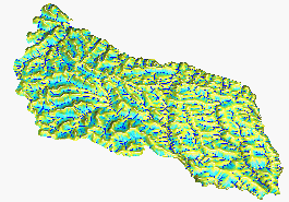 |
Upslope area (steady state water flow) |
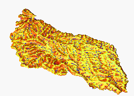 |
Detachment limited erosion
potential for uniform cover = modified USLE LS-factor |
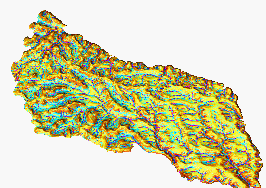 |
Net erosion/deposition
(transport capacity limited case for uniform cover = topographic
potential for erosion/deposition by USPED |
|
|