|
Using
Soil Erosion Modeling for Improved Conservation Planning: |
|||||
Results
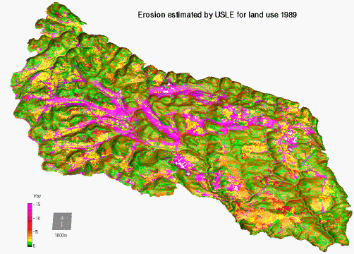 |
Erosion estimated by USLE, 1989 |
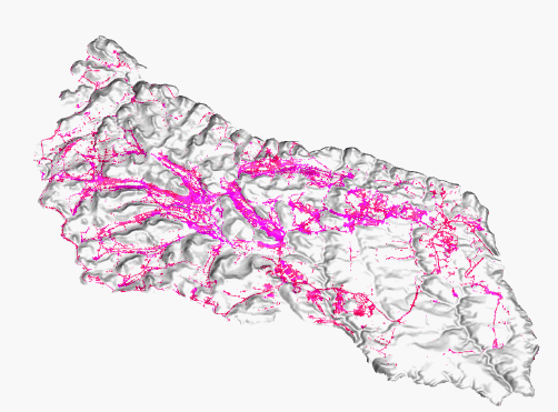 |
A>10: severe erosion areas = 14.6% of total area |
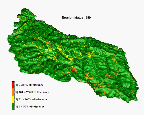 |
Erosion status |
 |
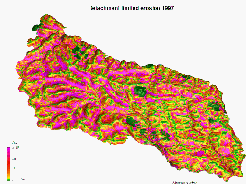
Erosion estimate by modified USLE, 1997 (with m=0.6, Moore and Wilson 1993, detachment limited erosion) |
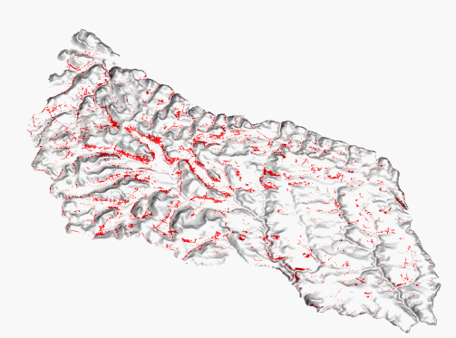 |
A>10: severe erosion areas = 6.6% of total area |
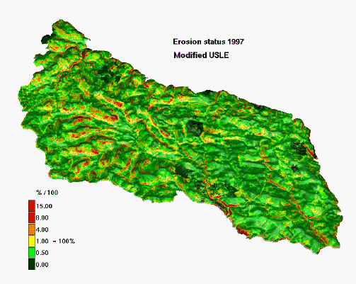 |
Erosion status |
 |
Erosion estimate by modified USLE 1997
(with m=1 linear relationship used in WEPP, detachment limited erosion) |
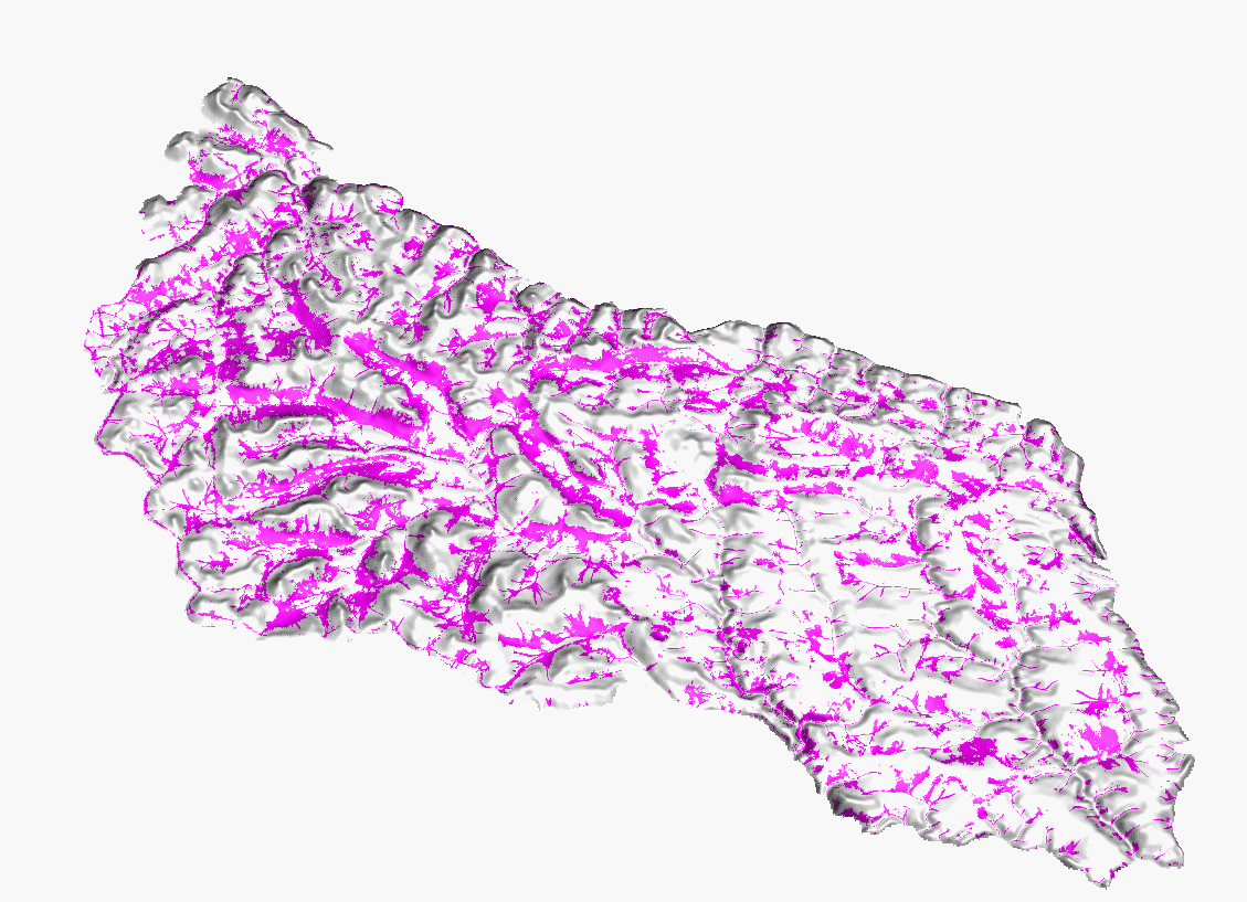 |
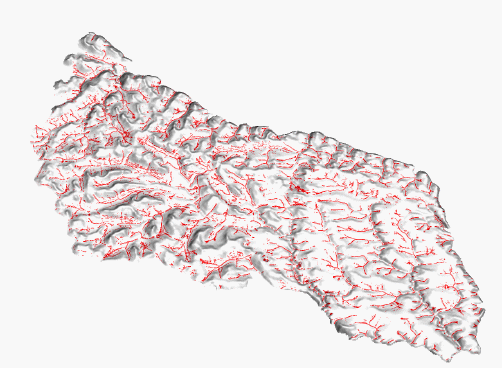
A>10: severe erosion areas = 22% of total area |
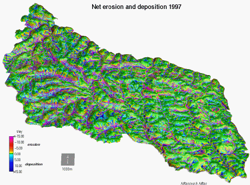 |
Net erosion deposition estimate by USPED 1997 |
 |
A>10: severe net erosion areas = 6.6% of total area |
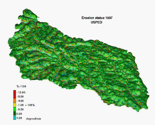 |
Erosion status |
In spite of the fact that the spatial accuracy of the erosion risk assessment is limited by the resolution of cover data, (which is 20m, whereas the DEM is 10m and 2m resolution), the high resolution elevation data and new models allow us to: 1) predict erosion risk areas with greater detail, 2) identify the high risk areas with concentrated water flow, which were missing in results from the previous study and 3) predict the areas with potential for sediment deposition. Comparison with the 1989 study shows substantial improvement in computation of LS factor, with the new LS factor better reflecting the impact of complex terrain. There are also substantial differences in the K-factor and T-factor. Overall the new models predict erosion over a smaller spatial extent, however they also identify areas with significantly higher erosion rates than those predicted by USLE, especially in areas of concentrated flow. It is important to note that the models are not calibrated so the quantitative results should be used with caution.
The study shows several issues relevant to land management, in particular the importance of erosion prevention in areas of concentrated flow and the upper convex parts of hill slopes, which were not identified in the 1989 study. It also allows us to identify the areas where a significant amount of eroded soil will be deposited before entering streams; sedimentation was reflected only by the sediment delivery ratio in the 1989 study.
|
|