|
Using
Soil Erosion Modeling for Improved Conservation Planning: |
|||||
Enlarged Images from Hohenfels Application Example

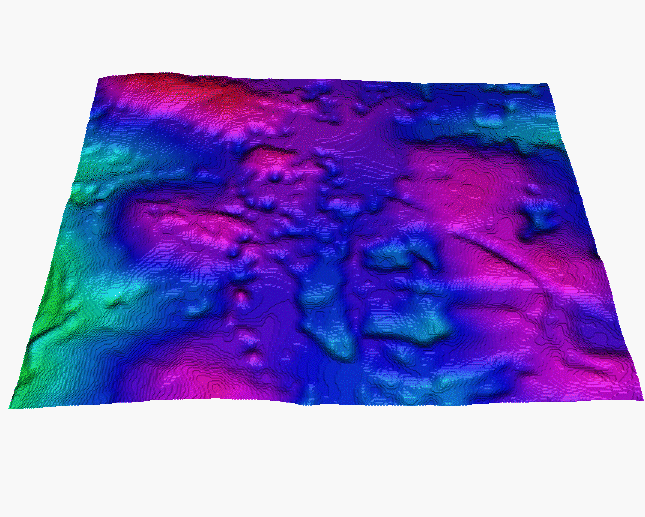
Sample from 10m resolution DEM developed using remote sensing technology.
The model represents the
elevation surface with all features (e.g.forests, buildings) on top of it.
It does not represent bare ground elevation and therefore its use for
modeling is problematic.
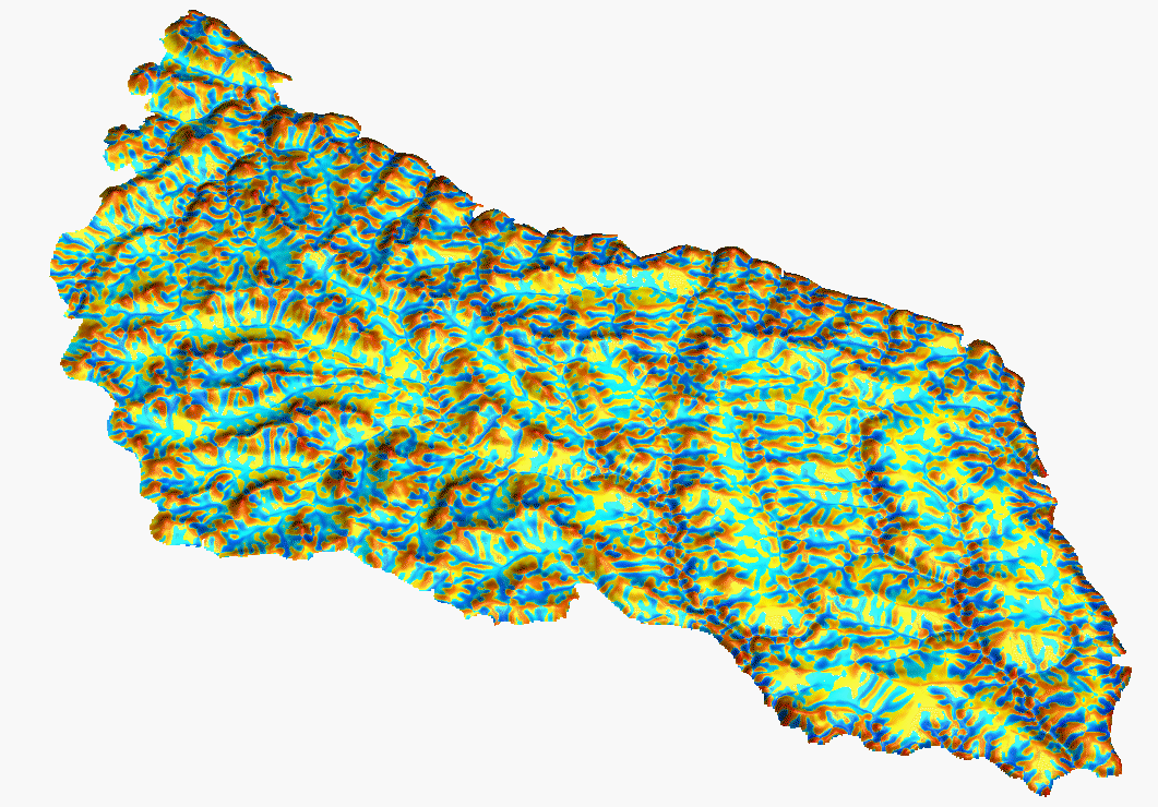
10 meter elevation data from 5 meter contour source map.
Slope
Aspect

Tangential (Contour) Curvature
|
|