USA CERL                                                                                                                          GMSLab

  Using Soil Erosion Modeling for Improved Conservation Planning: 
A GIS-based Tutorial

Erosion/deposition risk assessment at Hohenfels training center 


Application of the Modified USLE and USPED models

Erosion analysis for entire installation at 10m resolution

Input parameters:
Rainfall factor is uniform R=36.4 (Warren and Kowalski 1989)
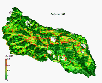
C-factor 1997
K-factor 1997
slope
upslope area
LS based on slope length (1997)
LS based on upslope area (1997)
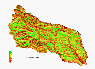
T-factor original (legend shows only classes, probably 1-1, 2-3, 3-7, 4-10 t/ha y) (1997)
T-factor based on new slope map(1997)

Up
Enlarged Images from Hohenfels Application Example
Application at Hohenfels
Erosion/depostion risk assessment results

HOME                                                        H. Mitasova, et al.,  Geographic Modeling Systems Lab, UIUC