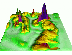
Elevation surface and watershed analysis
Projects
Publications
Some methods and tools that we are using and developing for watershed analysis and hydrologic applications are illustrated by the following projects:

Panama: stream mapping from IFSARE and SRTM


Bear Creek streambed properties, Neuse floodplain analysis

Height of vegetation from multiple return lidar data

Improving interpolation from contours using generalization