Processing Jockey's Ridge LIDAR Data
Results
Contact
Helena Mitasova
at
hmitaso@unity.ncsu.edu
Raw LIDAR data are delivered as points given by (x, y, z) and they include outliers (points far away from the land surface) and noise. Further processing is therefore needed to obtain usable representation of earth surface, usually in the form of a grid DEM.
-
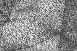 Detail of sampling pattern for ATM II LIDAR, note the overlap and points clusters
 -
 Raw data assigned to 1m resolution raster, note the outliers represented as spikes.
The data provided by
LDART
have already the outliers removed (see metadata there).
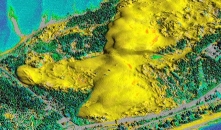
Different view at colored "raw" surface
Raw data assigned to 1m resolution raster, note the outliers represented as spikes.
The data provided by
LDART
have already the outliers removed (see metadata there).
Different view at colored "raw" surface -
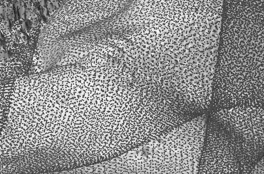
 Data assigned to 3m resolution raster, outliers were removed
 -
 Segmentation
 -
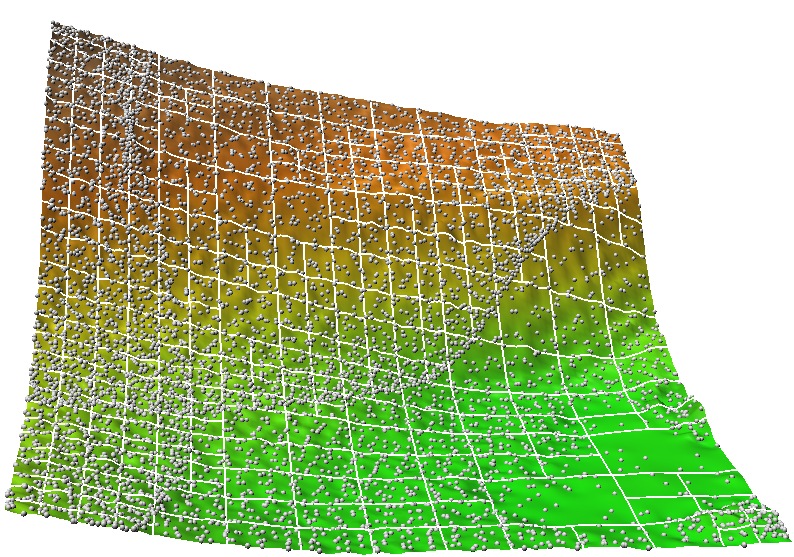
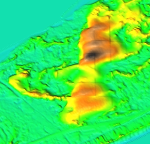
 Data interpolated to 1m resolution raster by RST
 - sites assigned to 1m resolution raster
- sites assigned to 3m resolution raster
- surface interpolated by RST at 1m resolution
 Detail of sampling pattern for ATM II LIDAR
 Raw data assigned to 1m resolution raster
 Data assigned to 3m resolution raster
 Data interpolated to 1m resolution raster by RST
2001 NC Flood LIDAR
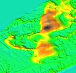 20ft resolution DEM downloadable from the NC Flood mapping site
-
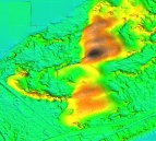 3ft resolution DEM interpolated by RST (high tension.low smoothing
so that the sampling pattern is visible)
3ft resolution DEM interpolated by RST (high tension.low smoothing
so that the sampling pattern is visible)
 20ft resolution DEM downloadable from the NC Flood mapping site
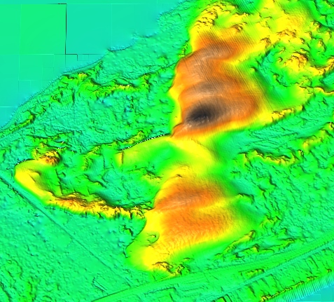 3ft resolution DEM interpolated by RST (high tension.low smoothing
so that the sampling pattern is visible)
3ft resolution DEM interpolated by RST (high tension.low smoothing
so that the sampling pattern is visible)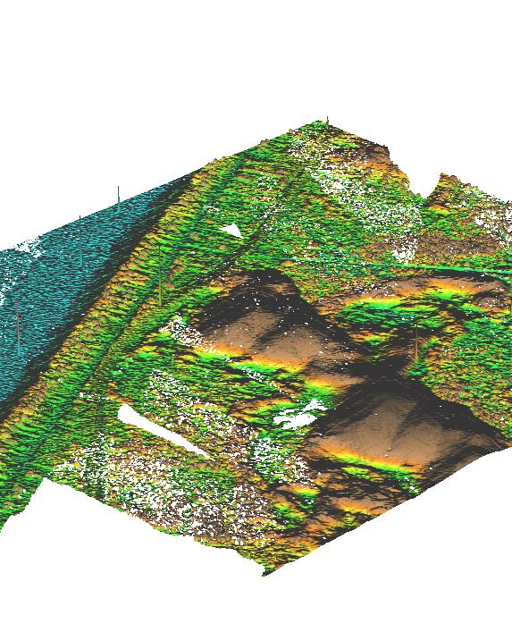