
Helena Mitasova, Lubos Mitas, Bill Brown, Irina Kosinovsky, Dave Gerdes, Terry Baker, John Isaacson
University of Illinois and USA CERL
Disclaimer: the images in this document are only for illustration of software visualization capabilities and were created from distorted data.
GRASS GIS is being expanded to support applications in environmental risk assesment and archeology which involve interpolation, analysis and visualization of 3D data. This document shows two such applications.
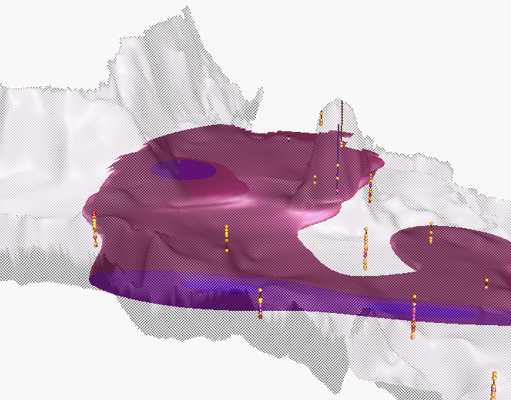
Concentrations of a chemical compund X are being measured in wells at various elevations. These measurements represent 3D scattered data and to model, analyze and visualize the spatial distribution of X it is necessary to interpolate these data to a 3D grid. We have used a trivariate regularized spline with tension and smoothing to compute the 3D grid and the visualization program sg4d to display the results. sg4d integrates the capabilities of SG3d tools with volume visualization. The following animation shows the location of sampling points, terrain as a surface and concentrations at surface layer draped as color over the terrain. Transparent surface and animation is used so that the underground sites can be seen.
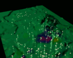 Terrain, wells and concentrations of X
( movie - 288,431 bytes )
To evaluate the spatio-temporal distribution of samples over a two year period, time is used as z-coordinate in the following image. Points are colored according to the concentrations and color of the reference plane represents elevation.

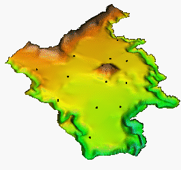
It is possible to drape vector data over the surface to see the spatial relation between the distribution of X and roads, railroads and streams, with the distribution of X concentrations in 3D space visualized via isosurfaces, slices or solids.
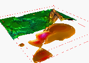
Second example is from an archeological site where soil core samples were taken. These samples were used to create a 3D model of soil geomorphology to support the identification of potential archelogical sites. The volume model is combined with cutoff or transparent terrain model for easier spatial orientation.
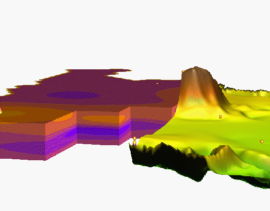
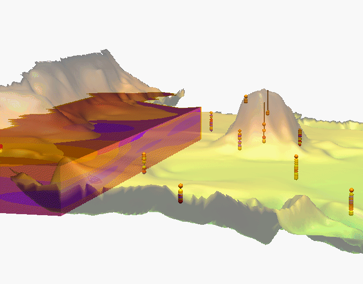
Terrain and volume model of soil geomorphology
(images - 45,000; 80,000; 113,000 bytes)
To learn more about the visualization tools used in this project see Visualization with GRASS GIS and read a paper Multidimensional Dynamic Cartography by Mitasova et al. 1994. Programming, computations and visualization for this project was done by Environmental modeling and visualization group at U.S.Army CERL (H. Mitasova, W. Brown, D.P. Gerdes, T. Baker, I. Kosinovsky), interpolation methods were designed by Lubos Mitas.
 GMSL Modeling & Visualization
 movie-204kB