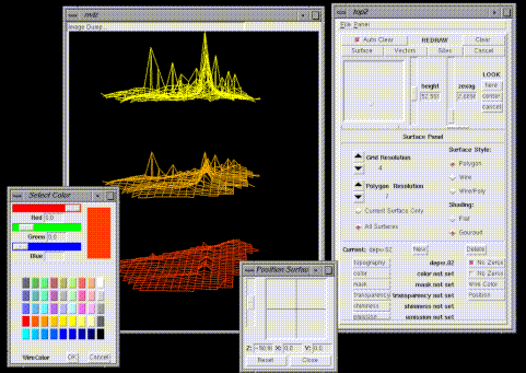
NVIZ - A testbed visualization tool for integrated modeling within GIS
- For use by GIS specialists & geographic model developers.
- Implemented as module for GRASS GIS
- Approximately 5% dependent on GIS API
- data input/output
- data queries, labeling, map legends
- distance & area functions
- region & projection information