|
|
|||||
|
Using
Soil Erosion Modeling for Improved Conservation Planning: |
|||||
|
|
|||||
|
Using
Soil Erosion Modeling for Improved Conservation Planning: |
|||||
Troubleshooting
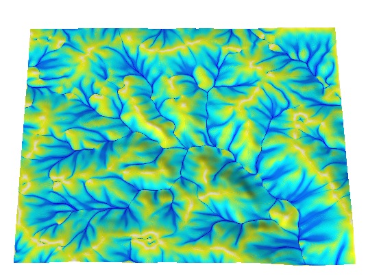
Flow accumulation map has many straight lines.
The most recent version of GRASS5 with easy to install binaries for Linux, Mac OS X and Windows can be used. Import the DEM into GRASS, run the command r.flow, and export the resulting flow accumulation map
|
|


