|
|
|||||
|
Using
Soil Erosion Modeling for Improved Conservation Planning: |
|||||
|
|
|||||
|
Using
Soil Erosion Modeling for Improved Conservation Planning: |
|||||
Model-based,
forest/dense grass where A>10
Soil Erosion/Deposition
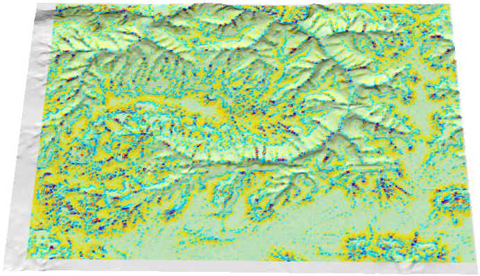
0.1 [1000 t/ay] Excess
[1000t/ay]
|
|


