|
|
|||||
|
Using
Soil Erosion Modeling for Improved Conservation Planning: |
|||||
|
|
|||||
|
Using
Soil Erosion Modeling for Improved Conservation Planning: |
|||||
60
ft stream buffer, forest on
slopes > 10%
Soil Detachment
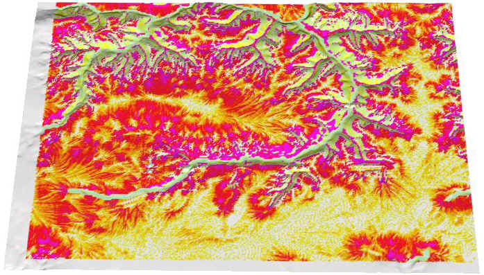
2,000 Total [1000t] / 12 Average [t/ay]
![]()
Tons per Acre-Year
|
|


