 GeoISEM Home
GIS and Earth Science
MEA 493r call number 626510
Department of Marine, Earth and Atmospheric Sciences,
North Carolina State University, Raleigh, NC
Mitasova H, Kimberley M.
Presented for Geology 101 students, April, 2002
Geographic Information System (GIS) as a tool for
management of georeferenced data, became an indisposable tool for
disciplines, activities and applications which involve tasks where location
of objects and pattern of processes is important. It plays an important
role in environmental applications, from modeling, analysis, and predictions
to decision making.
The application of GIS to modeling of earth processes using monitoring
data is illustrated by dynamic 3D maps of annual cycle of precipitation,
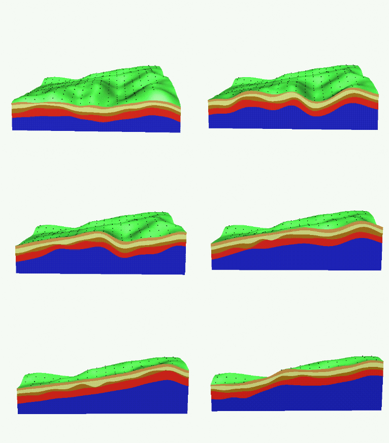
soil horizons, groundwater pollution and nitrogen concentrations in Chesapeake Bay.
Monitoring of rapid change in coastal topography is presented using 3D models
of the largest East coast sand dune Jockey's Ridge and evolution of Bald Head Island.
Simulation of landscape processes includes animation of overland water and sediment flow,
multiscale flow simulation and direct solar radiation.
powerpoint presentation

Soil horizons (data courtesy Dr. K. Auserwald, TUM and Dr. S. Warren, Colorado State University)
 GeoISEM Home
GIS and Earth Science
