Using Soil Erosion Modeling for Improved Conservation Planning: A GIS-based Tutorial
Computing USPED using GIS
ArcView-Spatial Analyst
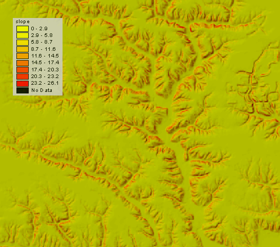
DEM Slope for Tutorial
HomeUp
HOME H. Mitasova, et al., Geographic Modeling Systems Lab, UIUC