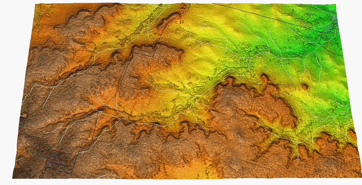
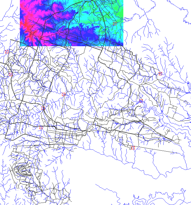
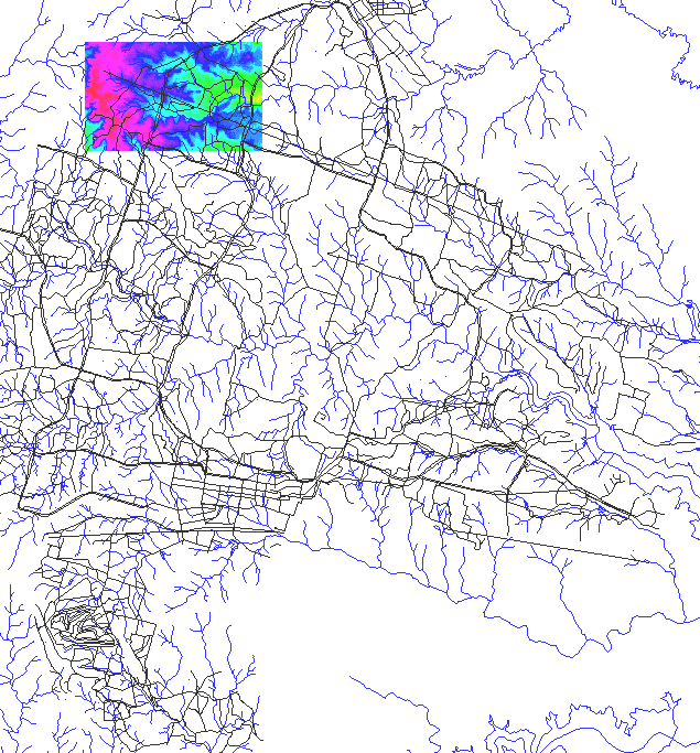
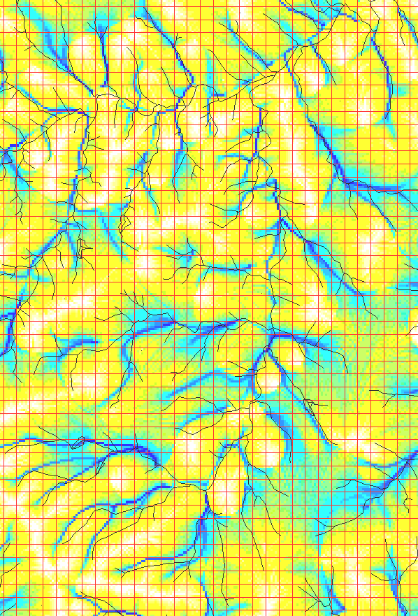
flow accumulation map for the Upper part of the Henson Creek
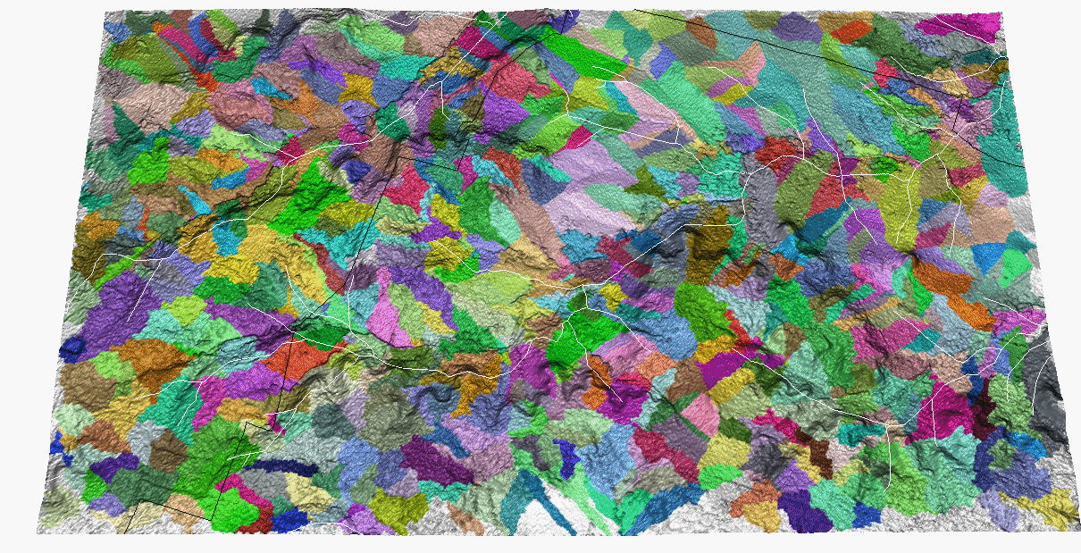
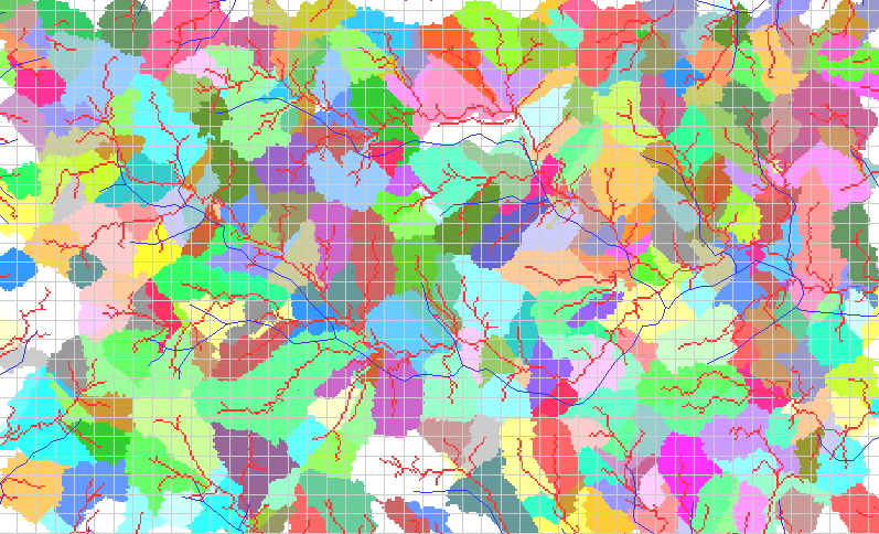
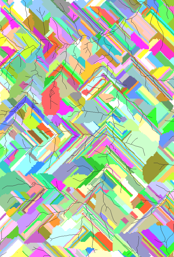
watersheds, stream network and grid with 10acre cell size
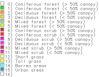
legend for the land cover map - categories do not fit very well with what is on the topo map
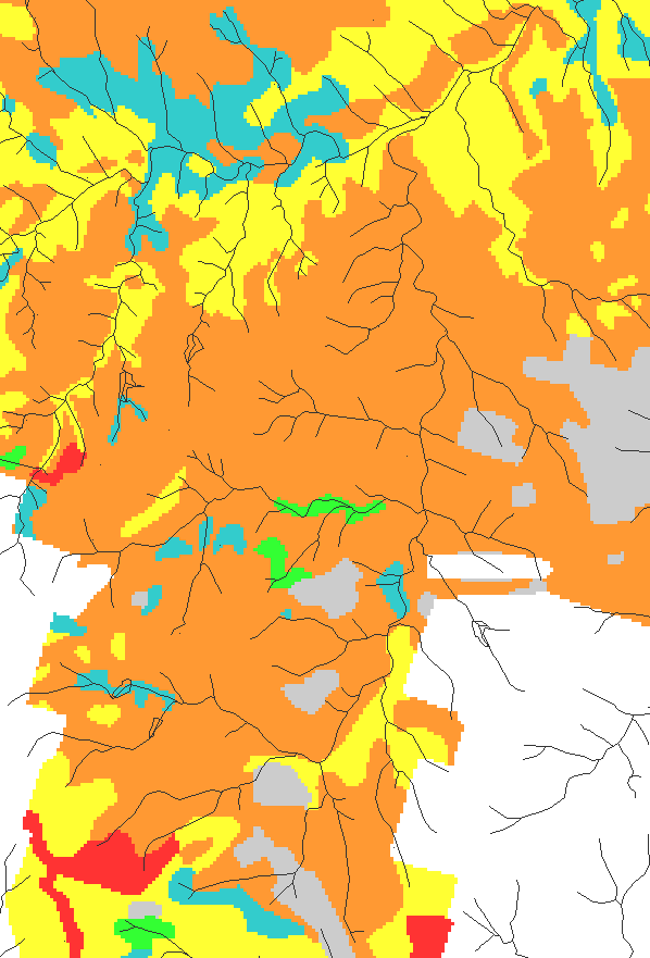
C factor from the old data base
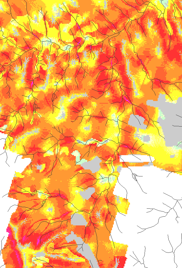
low resolution erosion risk map
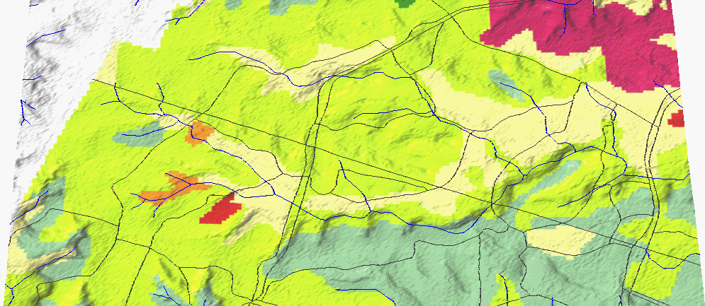
 vegetation map used for C-factor
soil detachment risk based
on topography and vegetation cover
road segments with
very high erosion risk due to the terrain and vegetation conditions
road segments with
erosion risk due to the terrain and vegetation conditions
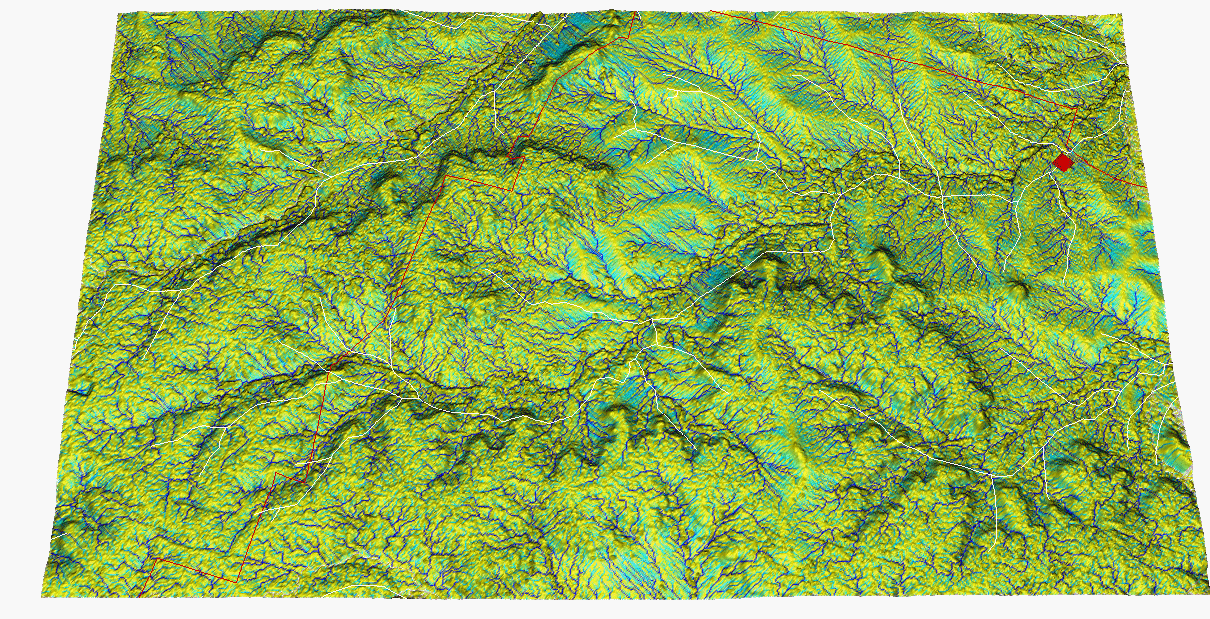
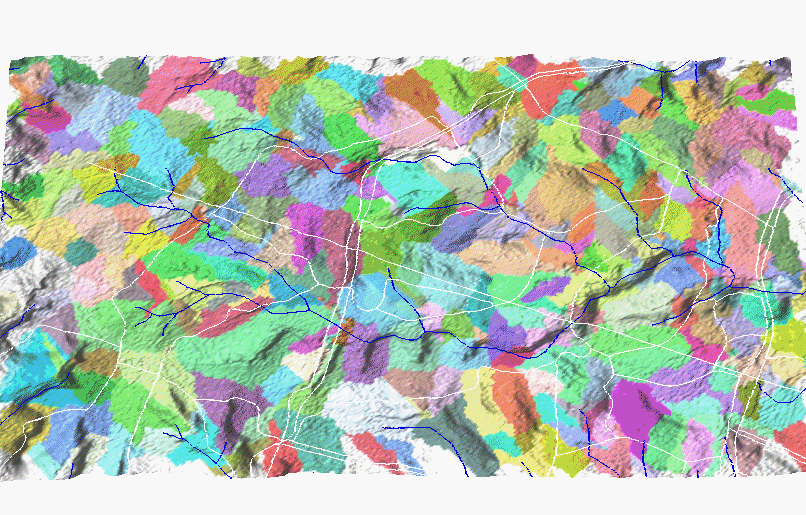
Clear Creek watershed
20acre watersheds from 50m DEM derived by r.whatershed