Path sampling method for solution of continuity
equations: duality between particles and fields
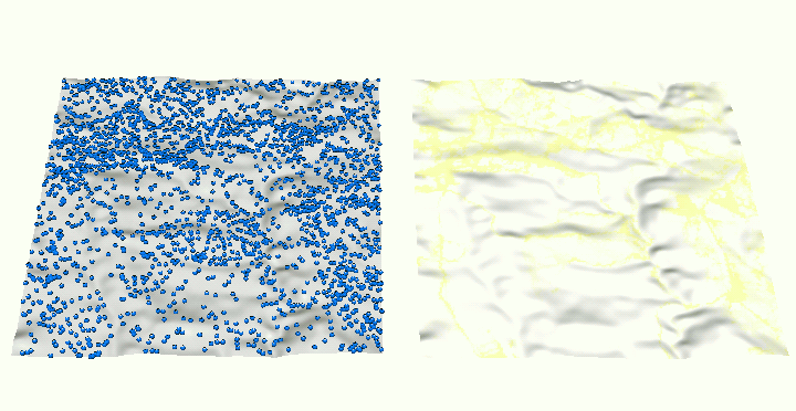
Time series of site map layers and raster maps draped
over a DEM, representing evolution of overland water flow
depth represented as discrete particles and as a continuous
field. Output of r.sim.water.